Winter Storm Watch for southern Minnesota Sunday night into Monday
The National Weather Service (NWS) has issued a Winter Storm Watch for southwest Minnesota through east-central Minnesota and western Wisconsin. A Winter Storm Watch means there is potential for significant snow, sleet or ice accumulation that may impact travel.
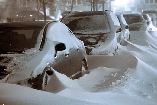
Snow is anticipated to start falling Sunday, with heavier accumulations expected on Monday. A wintry mix including freezing rain is also possible with this storm. Heavy snow combined with winds of 20-to-30 miles per hour could cause hazardous travel and significant reductions in visibility. The track of the heaviest snow may change as the forecast is updated over the next couple of days. Motorists should stayed tuned to updated forecasts and prepare for potential difficult driving conditions.
Motorists should remember to:
- Check road conditions at www.511mn.org or call 511; it takes time to get roads back to good driving conditions.
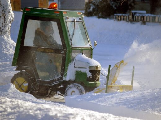
- Be patient and remember snowplows are working to improve road conditions for your trip.
- Stay back at least 10 car lengths behind the plow, far from the snow cloud.
- Stay alert for snowplows that turn or exit frequently and often with little warning. Plows may also travel over centerlines or partially into traffic to further improve road conditions.
- Slow down to a safe speed for current conditions. Snowplows typically move at slower speeds.
For additional tips on safe winter driving, go to www.mndot.gov/workzone/winter.html.
For real-time traffic and travel information in Minnesota, visit www.511mn.org or get the free smartphone app at Google Play or the App Store.


